
BIM Services
Concept to fabrication — coordinated Revit models, clash-free federated files and drawing sets your field crews can build from.
All services
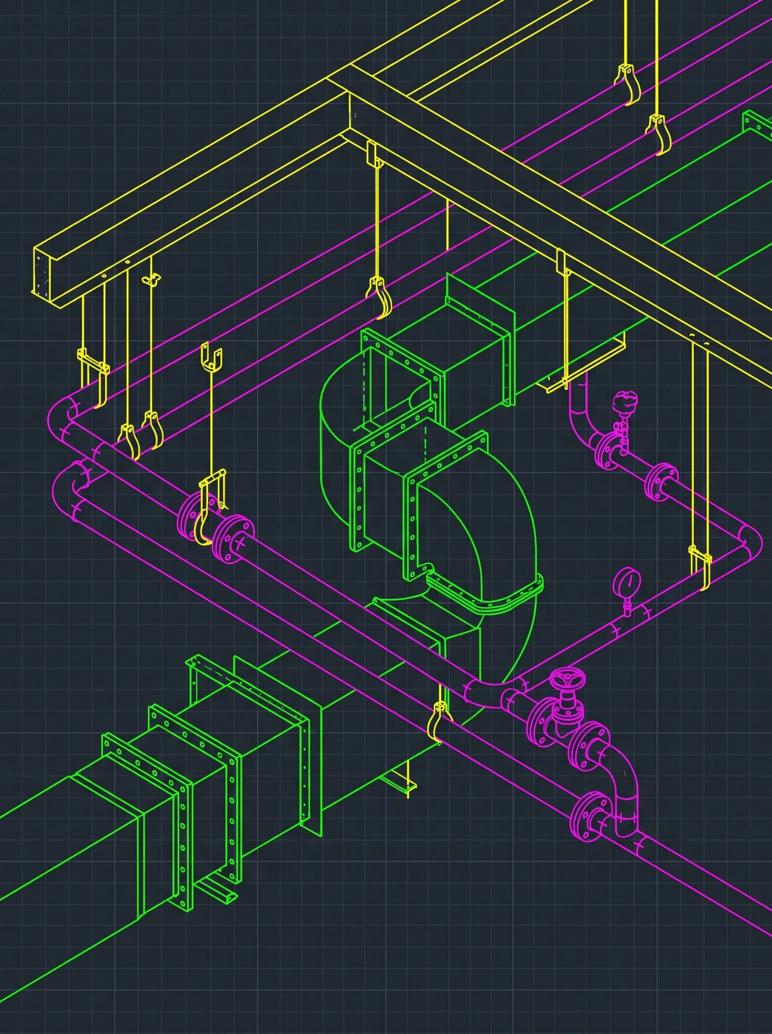
BIM insights, how-tos and industry deep dives for AEC teams.
Free downloadable guides for precon, VDC and BIM leaders.
Monthly BIM insights and project lessons in your inbox.
ROI Calculator and ISO 19650 readiness checklist.
Real projects with results in numbers, across five verticals.
Model demos and project explainers.
Step-by-step model and project walkthroughs.
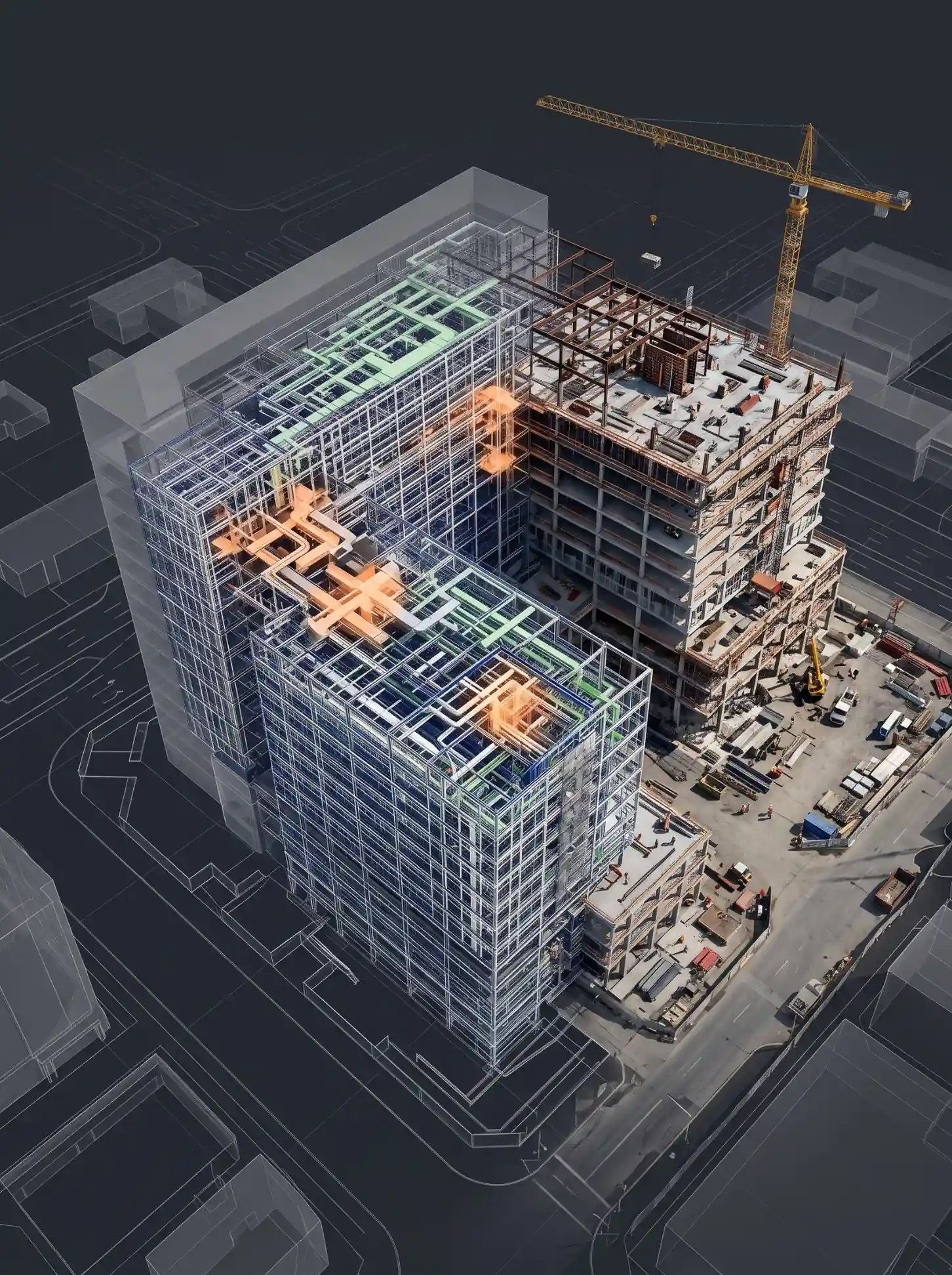
What Is BIM Coordination? Clash Detection, LOD, and the Federated Model Explained
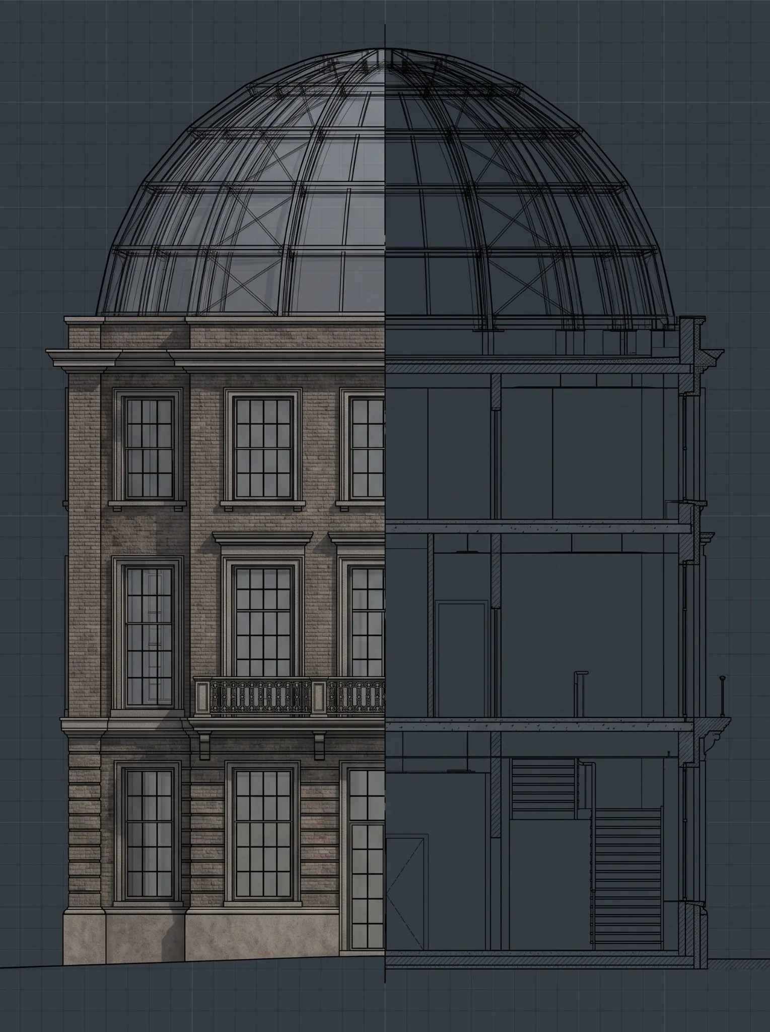
In-House BIM Team vs Outsourcing: What It Actually Costs a U.S. Firm
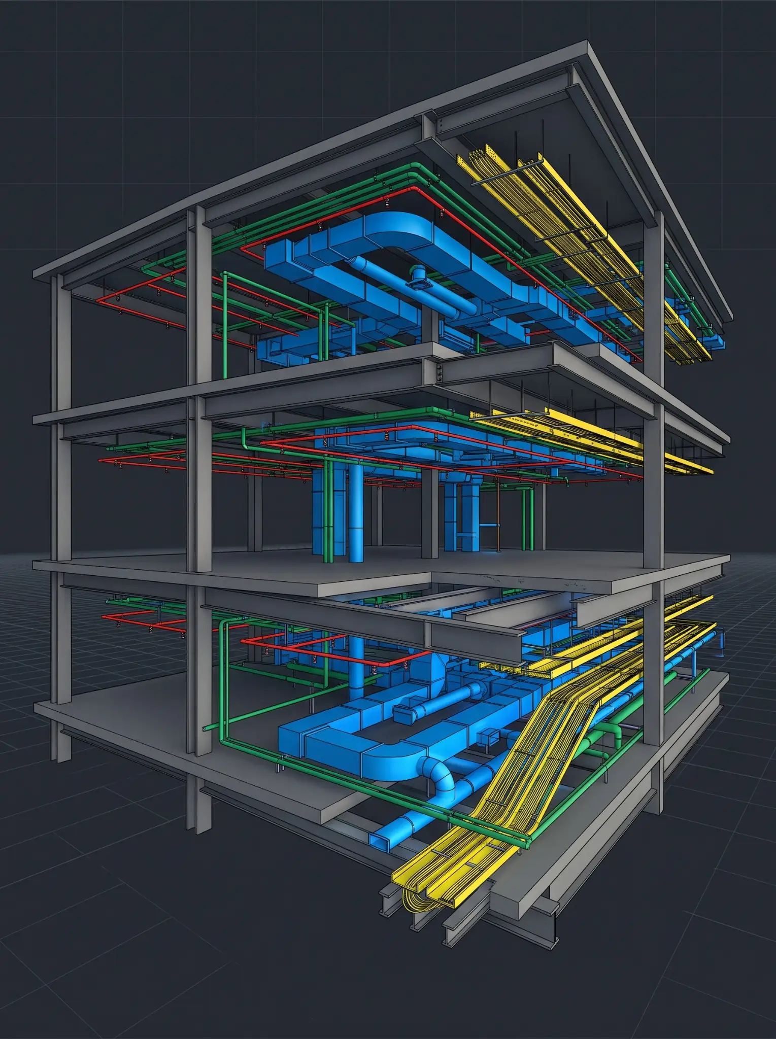
ISO 19650 Explained: What U.S. AEC Firms Need to Know Before Their Next Bid
Read more40-Story Office Tower, Dallas — 12 Trades Coordinated Clash-Free

420,000 sq ft of Class A commercial delivered at LOD 350 — full coordination, clash resolution and model-linked quantity takeoffs across every discipline.
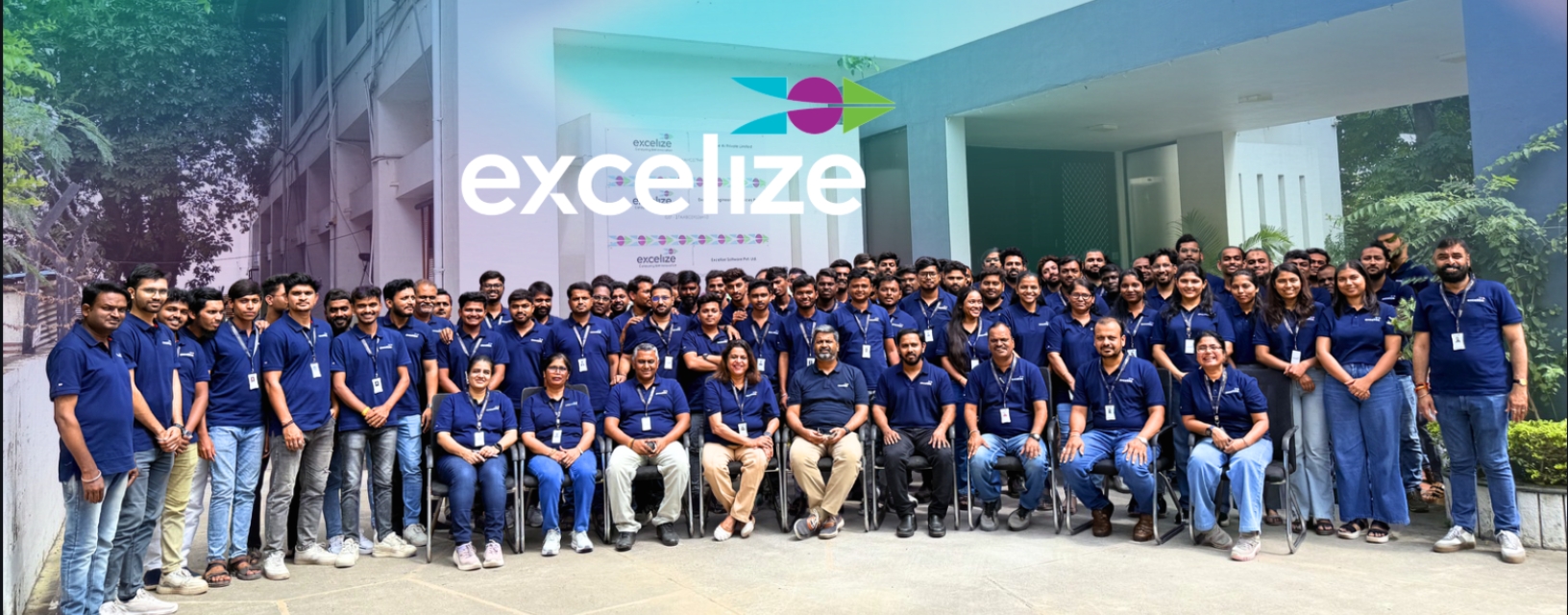
Get to know how, since 2004, Excelize grew into the BIM partner U.S. AEC firms trust — 300+ clients served and 2,500+ projects delivered end to end.
Learn MoreHow We Work
Trust
Careers
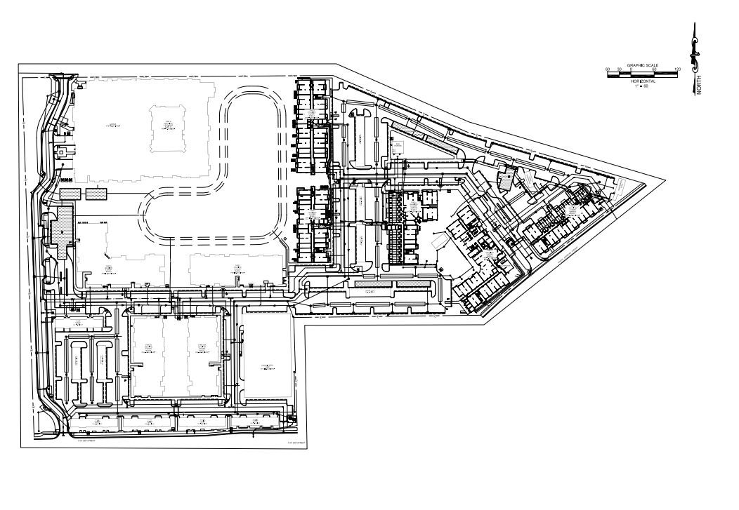
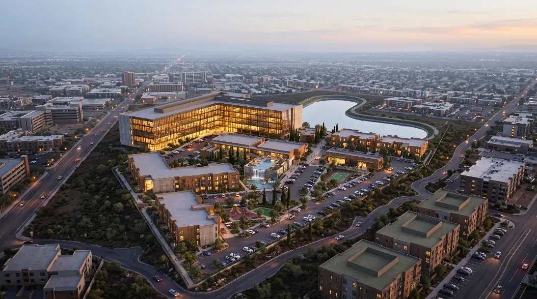
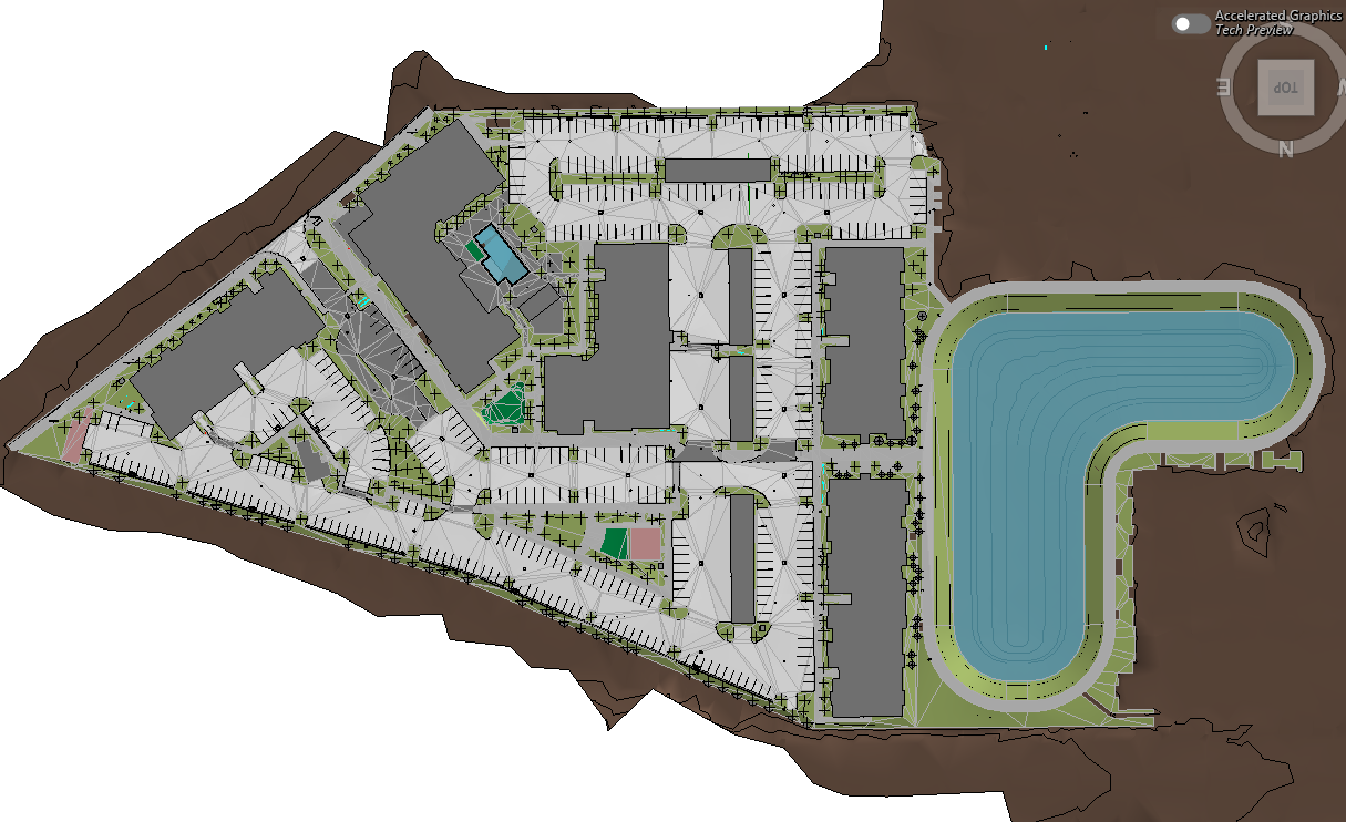
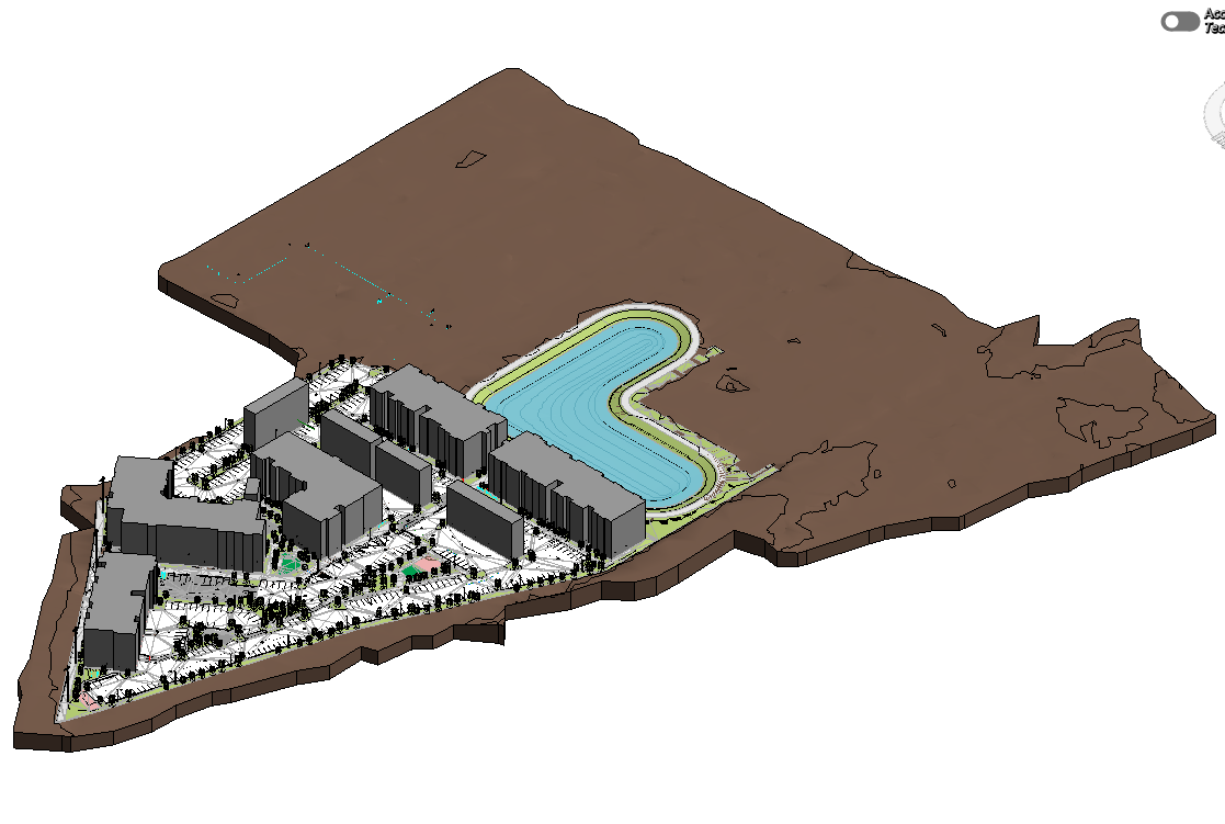
Cypress Creek required a coordinated BIM environment to accurately represent both existing and proposed site conditions across a 386,200 sq. ft. development. With survey information, varying site levels, earthwork requirements, underground utilities, and multiple surface elements to coordinate, the project needed a reliable digital site model that could support grading, cut-and-fill analysis, utility coordination, and execution planning.
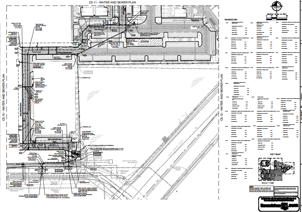
Survey data, contour information, survey/design points, and project design requirements were used to develop the existing and proposed site models, coordinate site infrastructure, and integrate plumbing and electrical utility networks.


Limited visibility into actual existing site conditions and elevation levels
Difficulty producing reliable cut-and-fill quantities for earthwork planning
Coordination challenges between underground utilities and landscape elements
Risk of conflicts between buried services, grading, roads, curbs, pools, and other surface features
Limited visualization of how proposed site conditions would translate into execution
Difficulty evaluating site-level coordination issues before construction
Site development projects depend heavily on accurate information about terrain, levels, earthwork quantities, and underground infrastructure. When existing conditions are poorly understood or site quantities are calculated separately from the design model, even small discrepancies can affect grading, material requirements, utility installation, and construction sequencing.The challenge increases when underground services must coexist with roads, curbs, landscaping, pools, and other surface elements. Without a coordinated digital representation, conflicts may only become visible during excavation or installation, when resolving them can require additional site work, redesign, or rework.For Cypress Creek, developing both existing and proposed terrain within a BIM environment created a common reference for site planning. Cut-and-fill analysis could be performed from the modeled conditions, while utility networks and surface elements could be reviewed together before execution. This helped move site coordination from field-based problem solving toward earlier identification and resolution during planning.
Imported and processed survey data, contours, and relevant design points
Created the existing terrain surface model to represent current site conditions
Developed the proposed grading model using survey and design elevations
Performed cut-and-fill calculations to establish earthwork quantities
Modeled site infrastructure, including roads, curbs, pools, and vegetation
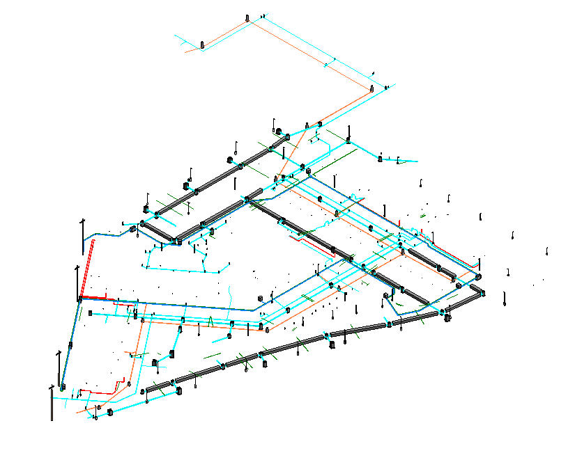
Developed and integrated plumbing and electrical utility networks within the site model
Federated site elements and utilities for coordinated review
Ran Clash Detection & Resolution cycles to identify and resolve site-level conflicts
Conducted QA/QC checks to verify model accuracy, coordination, and quantity outputs
Delivered the coordinated LOD 300 site model for planning and execution support


Tell us where your project stands, and a scoped response comes back in 2 to 3 days.
Request a Quote View All Case Studies