







For architects, facility owners, and general contractors evaluating Scan to BIM for a renovation, retrofit, or existing-conditions documentation project.
Key Takeaway: Original drawings for older buildings are almost never accurate once you account for decades of undocumented changes, and designing a renovation against them is a documented source of rework. Scan to BIM replaces guesswork with a laser-captured point cloud converted into an intelligent 3D model, and the accuracy of that model is governed by a published US standard, the USIBD Level of Accuracy specification, not a vague marketing claim.
What Is Scan to BIM?
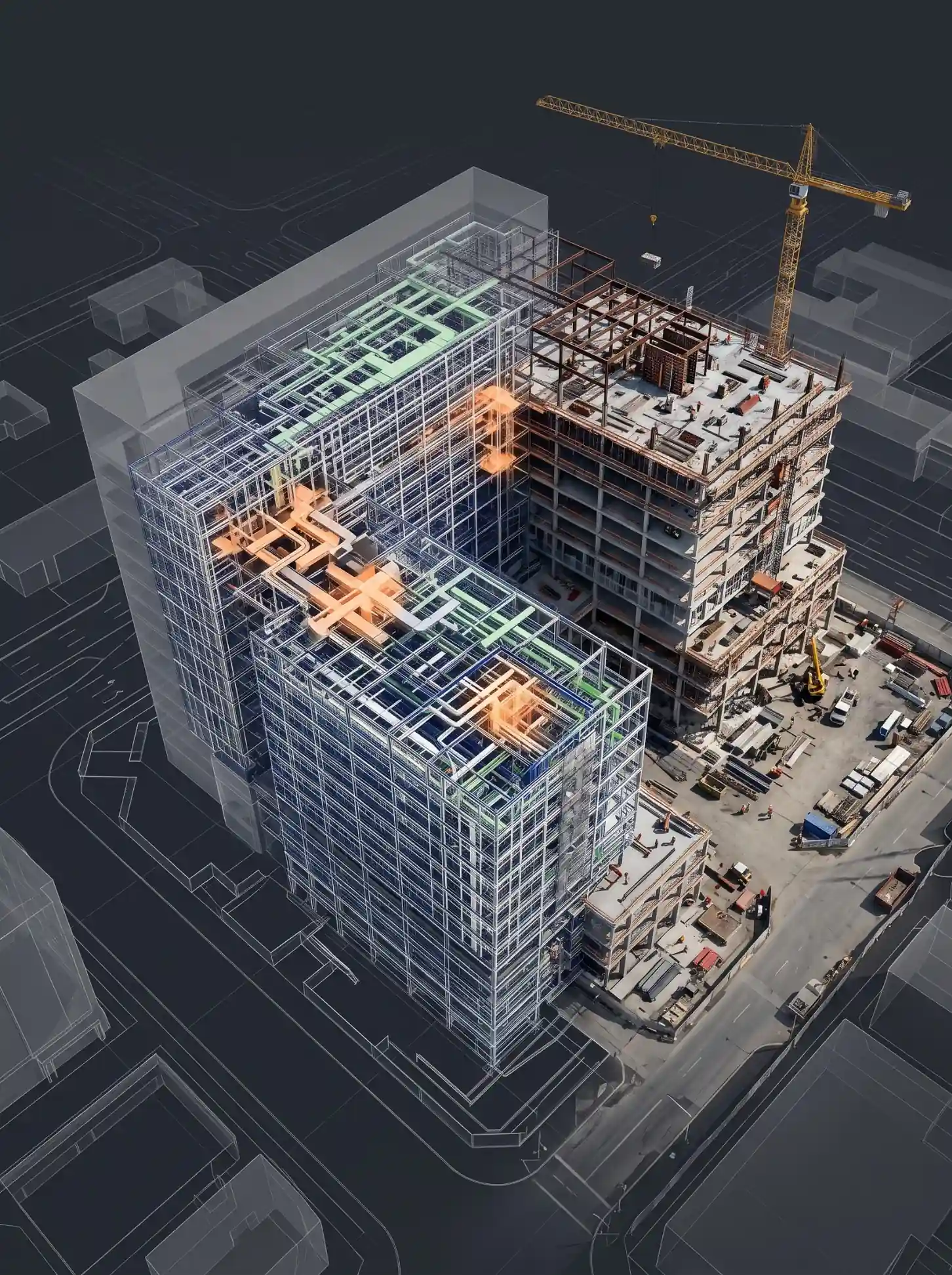
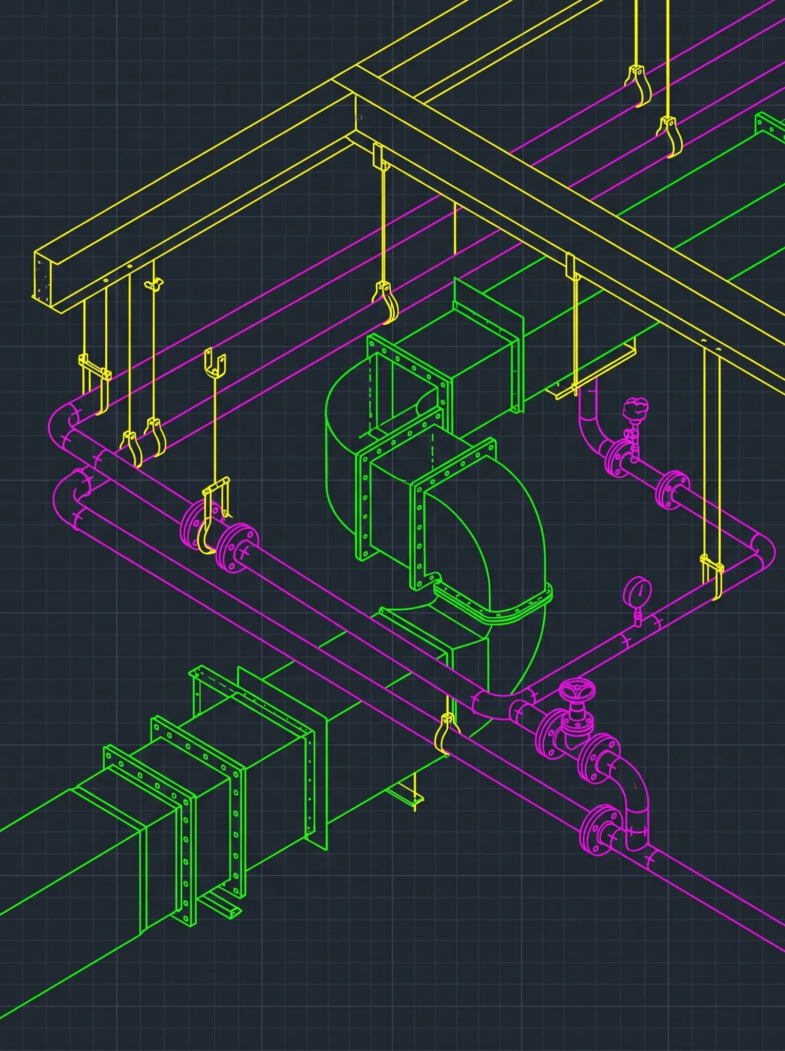
Scan to BIM is the process of converting laser-scanned point cloud data into an intelligent Building Information Model, most commonly built in Autodesk Revit. A laser scanner captures millions of measured points describing a building’s real, physical geometry, walls, columns, ceilings, ductwork, exactly as it exists today, not as it was originally drawn.
Modelers then use that point cloud as a geometric reference to build a coordinated 3D model, so the deliverable reflects actual as-built conditions rather than assumptions inherited from an outdated drawing set.
When Scan to BIM Makes Sense (and When a Traditional Survey Is Enough)
Scan to BIM earns its cost on projects where getting existing conditions wrong is expensive. It’s the right call when:
- Original drawings are missing, outdated, or unreliable. Any building that’s had renovations, tenant changes, or MEP modifications since it was built almost certainly no longer matches its record drawings.
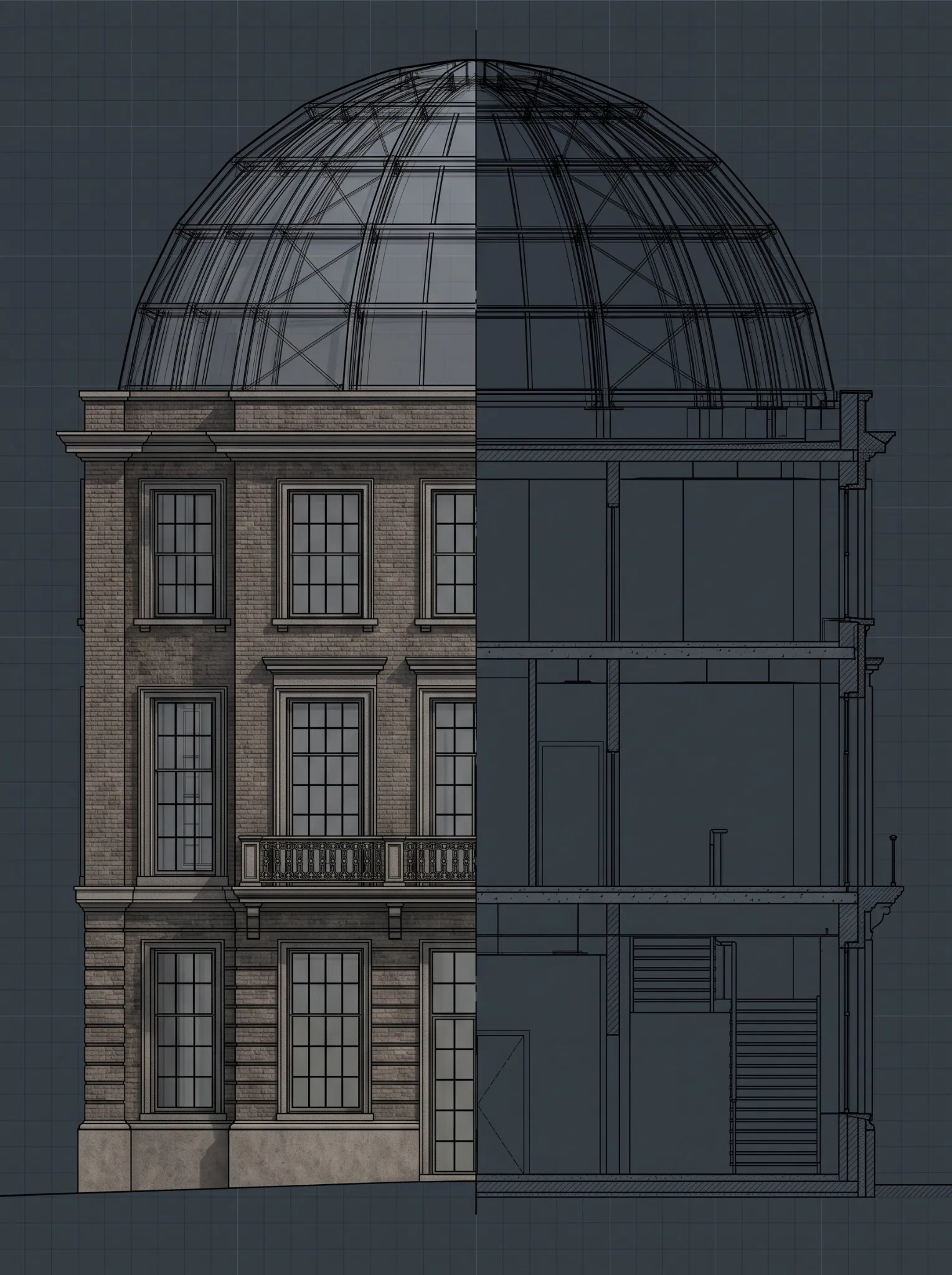
- The project involves complex or irregular geometry. Heritage buildings, industrial retrofits, and structures with non-standard framing rarely behave the way clean CAD drawings assume they do.
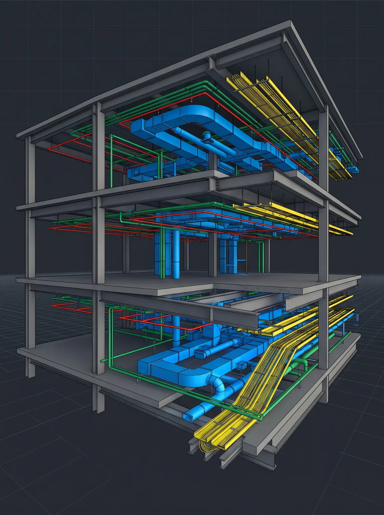
- MEP coordination risk is high. Retrofit and renovation work where new systems have to be routed around undocumented existing ductwork, piping, or structure benefits directly from a verified point cloud reference.
- Access will be limited later. Scanning captures ceiling voids, structural connections, and hard-to-reach areas once, before walls close back up.
A traditional measured survey is usually sufficient for small, simple, regular-shaped spaces where the deliverable is just a basic floor plan and a couple of elevations, and where the extra depth of a full point cloud wouldn’t change any design decision.
See a real scan-to-BIM deliverable. Request a free sample Scan to BIM model from Excelize’s team on a building type similar to yours.
Get a Free Sample→Scan to BIM Accuracy: The USIBD LOA Standard
Most Scan to BIM marketing throws around words like “millimeter accuracy” without saying what that actually means or how it’s verified. The real answer is the Level of Accuracy (LOA) Specification, published by the U.S. Institute of Building Documentation and now in Version 3.1. It defines five accuracy tiers, each specified at a 95 percent confidence level:
| LOA Tier | Accuracy Range (95% confidence) | Typical Use |
|---|---|---|
| LOA10 | 5 cm or greater (upper bound user-defined) | Rough massing, planning-level documentation |
| LOA20 | 5 cm to 15 mm | General renovation planning, basic space verification |
| LOA30 | 15 mm to 5 mm | Standard architectural and MEP renovation modeling |
| LOA40 | 5 mm to 1 mm | High-precision coordination, tight-tolerance retrofit work |
| LOA50 | 1 mm to 0 | Specialized applications requiring maximum precision |
A properly scoped Scan to BIM project specifies the LOA required for capture and, separately, the LOA required for the finished model, since the two don’t have to match. A building’s structural shell might only need LOA20, while a mechanical room being retrofitted with new equipment might justify LOA40. Specifying a blanket “high accuracy” without naming a tier is exactly the ambiguity the LOA standard was built to eliminate.
LOA vs. LOD: Two Standards People Confuse
LOA and LOD get used interchangeably in casual conversation, but they measure completely different things, and mixing them up in a scope document creates real disputes later.
| Standard | What It Measures | Governing Body |
|---|---|---|
| LOA (Level of Accuracy) | How precisely the captured or modeled geometry matches physical reality | USIBD |
| LOD (Level of Development) | How much information and detail a model element contains, independent of how accurately it was measured | BIMForum |
A wall can be modeled at high LOD, fully detailed with material layers and connections, while still being captured at a low LOA if the underlying scan data was coarse. Conversely, a simple box-shaped element can carry a very high LOA if it was captured precisely, even with minimal LOD detail. Both standards need to be specified separately in a Scan to BIM contract.
The Scan to BIM Workflow, From Laser Scan to Revit Model
- Capture the point cloud. A laser scanner records millions of measured points across the building, both interior and exterior scans are typically needed to build a complete geometric picture.
- Register and index the scans in Autodesk ReCap Pro. Individual scan positions are aligned into a single, unified coordinate system, and the software builds an optimized spatial index so Revit can navigate the data without loading every point into memory at once.
- Export to RCP and RCS format. An RCP (ReCap Project) file references the indexed RCS (ReCap Scan) files underneath it; Revit reads both formats natively, and as of Revit 2026 also supports the RCMR segmented-mesh format for classified mesh-based workflows.
- Link the point cloud into Revit. From the Insert tab, Link Panel, select Point Cloud, then choose the RCP or RCS file to bring into the project.
- Position the point cloud correctly. Auto-Center to Center places the cloud’s bounding box at the model’s bounding box center; Auto-Origin to Origin aligns the cloud’s own (0,0,0) point to the Revit project origin; Auto-By Shared Coordinates assumes the point cloud already carries the project’s shared coordinate system.
- Model directly against the linked point cloud. Walls, structure, and MEP elements get placed and dimensioned against the actual captured geometry rather than an assumed one, at whatever LOA and LOD the project scope calls for.
Getting the coordinate positioning step right in stage 5 matters more than it looks. A point cloud that imports offset from where it should be, a common complaint in practice, almost always traces back to a mismatch between how the cloud was georeferenced in the field and which positioning method was chosen at import.
Registration quality earlier in the process matters just as much. Multi-station registration, stitching together scans taken from different positions around a building into one unified point cloud, is where accuracy is won or lost before a single Revit element gets placed.
Poor overlap between scan setups, movement during capture, or reflective surfaces like glass and polished metal returning bad point returns all degrade the underlying data in ways that no amount of careful modeling downstream can fully correct.
This is why an experienced Scan to BIM provider spends real time on field capture planning and ReCap-side quality checks before modeling even starts, rather than treating registration as a formality on the way to the Revit file.
Walk through your existing-conditions gaps. Book a Discovery Session with Excelize’s team to scope the right LOA for your next renovation.
Book a Discovery Session→Scan to BIM Benefits for US Renovation and Retrofit Projects
- Improved transparency and coordination. Architects, engineers, and contractors work from the same verified geometric reference instead of reconciling conflicting drawing sets.
- Fewer costly field surprises. Structural connections, MEP routing, and ceiling voids get documented before design starts, not discovered mid-construction.
- Faster, more confident decision-making. Design alterations can be evaluated against real conditions immediately, without waiting on a return site visit.
- Better long-term sustainability outcomes. Renovation decisions made against accurate existing-conditions data are less likely to require corrective rework later in the building’s life.
- A reusable asset beyond the current project. The same model supports future renovations, facility management, and space planning long after the immediate scope closes out.
Renovation and improvement work is not a marginal slice of the US construction market. The U.S. Census Bureau’s Value of Construction Put in Place survey, which explicitly tracks improvements to existing structures alongside new construction, measured total US construction spending at a seasonally adjusted annual rate of $2,166.5 billion as of June 2026. Every renovation and retrofit dollar inside that figure depends on existing-conditions data being right before design starts.
Scan to BIM Software and Hardware in Use Today
- Laser scanners capture the raw point data in the field; common formats produced include E57 (an open industry-standard format) and LAS/LAZ for aerial or mobile LiDAR capture.
- Autodesk ReCap Pro processes, registers, and indexes raw scan data into RCP/RCS project files ready for use in design software.
- Autodesk Revit is the primary destination for Scan to BIM modeling, linking point cloud data directly and supporting native RCP, RCS, and (as of Revit 2026) RCMR mesh formats.
- Navisworks is commonly used downstream to cross-reference the resulting model against other disciplines during coordination.
Conclusion
Scan to BIM isn’t just a faster way to survey a building, it’s a way to remove the single biggest source of uncertainty in renovation and retrofit work: not actually knowing what’s really there. Specifying the right USIBD LOA tier, understanding how it differs from LOD, and following a disciplined ReCap-to-Revit workflow are what separate a Scan to BIM deliverable that holds up in the field from one that quietly falls apart the first time someone opens a wall.
Excelize has been delivering Scan to BIM services for US architecture firms, general contractors, and building owners since 2004, including heritage and existing-building projects, across more than 2,500 BIM projects for over 300 clients.
Get your Scan to BIM project quoted. Send your building details to Excelize’s extended BIM team for a quote on laser scanning and point cloud modeling.
Request a Quote→FAQ
What is the difference between Scan to BIM and a traditional survey?
A traditional survey captures selected measurements by hand, which works for small, simple spaces. Scan to BIM captures millions of data points with a laser scanner, producing a complete point cloud that gets modeled into a coordinated BIM file, which matters most for complex geometry, MEP-dense renovations, or projects where drawings are missing or outdated.
How accurate is Scan to BIM?
Accuracy is defined by the USIBD Level of Accuracy specification, which sets five tiers from LOA10 (5 cm or coarser) to LOA50 (sub-millimeter), each specified at a 95 percent confidence level. The correct tier depends on the project: structural shells often need only LOA20, while precision retrofit work may require LOA40.
What file formats does Scan to BIM use?
Raw scan data (commonly E57 or LAS/LAZ) is processed in Autodesk ReCap Pro and exported as RCP (ReCap Project) and RCS (ReCap Scan) files, which Revit reads natively. Revit 2026 added support for RCMR, a segmented-mesh format, for classified mesh-based workflows.
Is Scan to BIM worth it for a small renovation?
Not always. For small, regularly shaped spaces needing only basic floor plans, a traditional measured survey is often sufficient and more cost-effective. Scan to BIM earns its cost on projects with complex geometry, high MEP coordination risk, missing or unreliable drawings, or limited future access to the space.
What’s the difference between LOA and LOD in Scan to BIM?
LOA (Level of Accuracy, governed by USIBD) measures how precisely captured geometry matches physical reality. LOD (Level of Development, governed by BIMForum) measures how much information a model element contains. A project can specify a high LOD model built from low-LOA data, or the reverse, so both need to be defined separately in the project scope.
Excelize is a BIM services partner supporting US architecture firms, general contractors, and building owners with Scan to BIM, point cloud modeling, and existing-conditions documentation delivered by an extended BIM team.